
MeshSync
Resilient Offline - First Mesh Network for Crisis Coordination Using Conflict Free Replicated Data Types (CRDTs)
Abstract
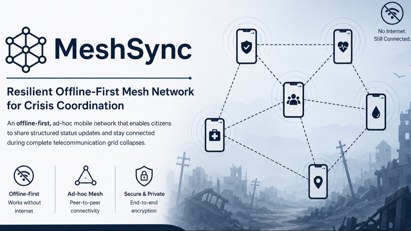
This project focuses on building an offline-first, ad-hoc mobile network designed for citizen synchronization during complete telecommunication grid collapses. The platform enables mobile devices to dynamically build local network graphs and securely share structured status updates (state definitions) using peer-to-peer wireless signals without requiring an internet connection.
The problem
When catastrophic events like Cyclone Ditwah strike, cellular base stations and power grids collapse within minutes, severing communications and leaving victims stranded while emergency responders operate blind. MeshSync was conceived to solve this critical breakdown, transforming ordinary smartphones into an ad-hoc, decentralized mesh network to coordinate search-and-rescue operations entirely off grid.
The solution
MeshSync is a resilient, offline-first disaster response system that pairs Bluetooth Low Energy (BLE) gossip routing with Conflict Free Replicated Data Types (CRDTs). It allows victims to broadcast SOS alerts, volunteers to self assign, and moving devices to act as "Data Mules" that deliver disaster telemetry to central command centers once connectivity is restored.
In detail
Designed for rapid deployment during severe crises like Cyclone Ditwah, the mobile application runs on Android edge devices using React Native and a dual storage pattern: synchronous react native mmkv for Hybrid Logical Clock (HLC) tracking and WatermelonDB (SQLite) for an append only event log (MESH_EVENT). A deterministic 5 stage fold pipeline reconciles incoming peer payloads without data loss. Data propagates through an epidemic gossip protocol over BLE GATT under a 512 byte MTU limit and a 1:4 power saving duty cycle. Field actors navigate offline via a zero storage Haversine radar plot, while authorized emergency squads utilize pre downloaded MapLibre vector maps. As personnel or vehicles travel into cellular or satellite range, the app automatically flushes accumulated event batches to a Node.js/PostgreSQL cloud backend. A web dashboard groups incidents into geographic triage clusters, empowering commanders to monitor operational zones and dispatch specialized rescue squads back down the mesh.